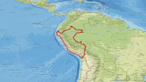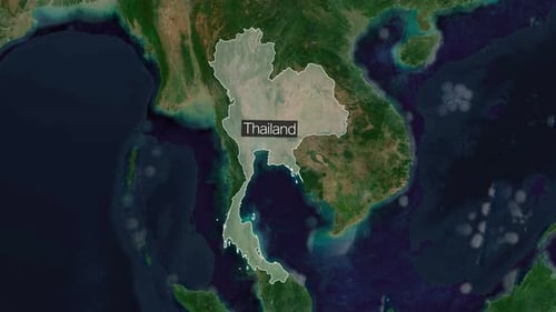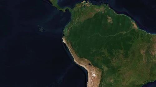
World Map Zoom to Peru with Border Highlight
By MisModishOne great value subscription from €14.50/month
- Unlimited downloads of 27+ million creative assets
- AI Tools: video, image and more
- Lifetime commercial license
- Easy cancellation
Attributes
- Length
- 0:10
- Resolution
- 3840 x 2160
- File Size
- 51.6 MB
- Frame Rate
- 25 fps
- Alpha Channel
- No
- Looped
- No
- Video Encoding
- H.264
- Orientation
- Horizontal
- Commercial License
- Further Information
Description
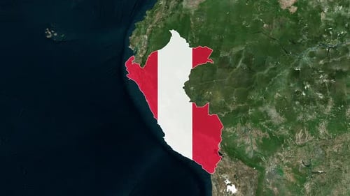
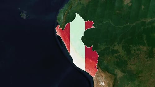
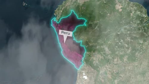
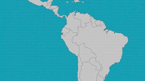
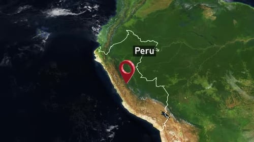
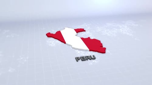
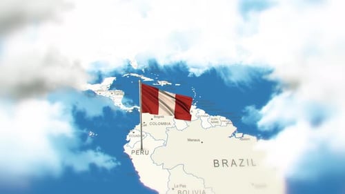
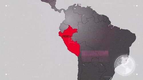
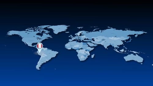
This animated clip begins with a sweeping view of a satellite world map, then smoothly zooms in to precisely locate Peru. As the camera settles, the geographical borders of Peru are cleanly highlighted with a distinct outline, and the country's name appears on screen. The visual tone is clear, precise, and informative, making it ideal for educational segments, corporate presentations, travel documentaries, or any project requiring accurate geographical data visualization. This visual effect enhances content by providing a professional and engaging way to introduce or emphasize specific global regions.