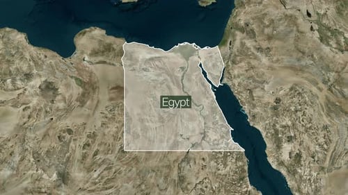
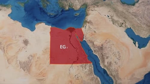
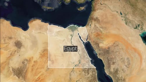
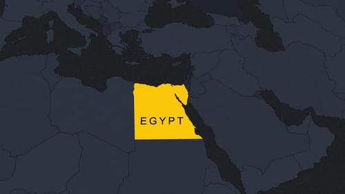
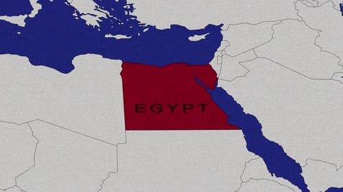
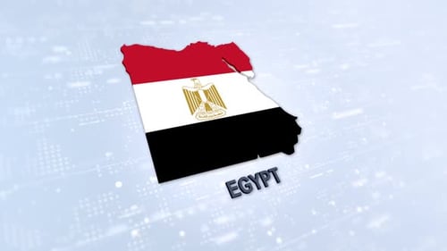
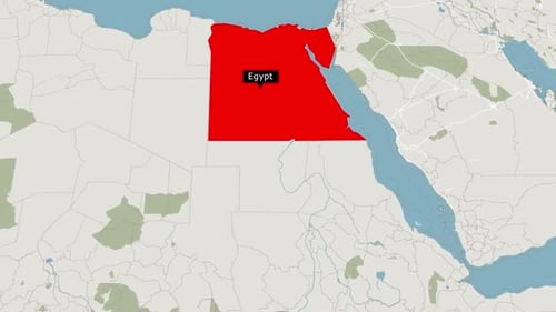
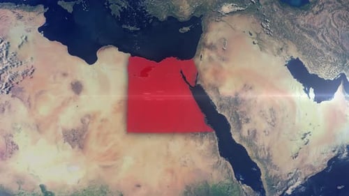
Animated World Map Zooming Into Egypt
By jasejlaOne great value subscription from €14.50/month
- Unlimited downloads of 27+ million creative assets
- AI Tools: video, image and more
- Lifetime commercial license
- Easy cancellation
Attributes
- Length
- 0:19
- Resolution
- 1920 x 1080
- File Size
- 81.6 MB
- Frame Rate
- 30 fps
- Alpha Channel
- No
- Looped
- No
- Video Encoding
- H.264
- Orientation
- Horizontal
- Commercial License
- Further Information
Description
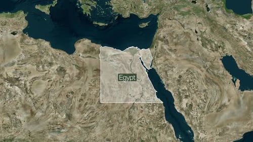
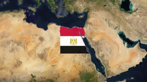
This animated clip features a detailed geographical map that smoothly zooms into Egypt from a broader regional view. The dynamic camera movement highlights Egypt's political borders, major cities like Cairo and Alexandria, and significant geographical features including the Nile River, Lake Nasser, the Red Sea, and the Mediterranean Sea. The map is meticulously labeled with country names, city markers, and bodies of water, presenting a clear and informative overview. This visual effect is perfect for enhancing documentaries, news segments, educational presentations, or travel content that requires precise and engaging geographical context for Egypt and its surrounding regions.