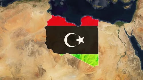
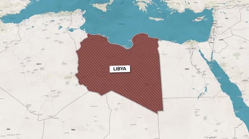
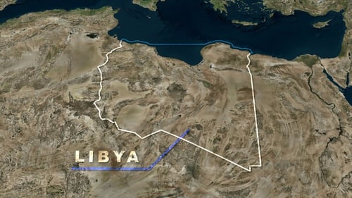
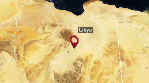
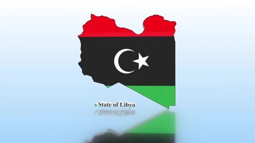
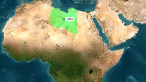
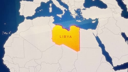
3D Zoom to Libya Map with National Flag Overlay
By MomentProductionOne great value subscription from €14.50/month
- Unlimited downloads of 27+ million creative assets
- AI Tools: video, image and more
- Lifetime commercial license
- Easy cancellation
Attributes
- Length
- 0:13
- Resolution
- 1920 x 1080
- File Size
- 61.1 MB
- Frame Rate
- 25 fps
- Alpha Channel
- No
- Looped
- No
- Video Encoding
- H.264
- Orientation
- Horizontal
- Commercial License
- Further Information
Description
This animated clip features a smooth, cinematic zoom from a high-altitude satellite view of the Earth down to the specific geographic boundaries of Libya in North Africa. As the camera approaches the surface, the country's borders are precisely highlighted, and the national flag of Libya is clearly overlaid onto the desert terrain. The visual style utilizes realistic satellite imagery, showcasing natural landmasses, vast oceans, and wispy clouds, which provides a professional and highly informative tone for the viewer. The animation is ideal for news broadcasts, educational documentaries, or corporate presentations focusing on regional geopolitics, travel logistics, or historical contexts. The steady pacing and high-detail textures help ground the viewer in the specific geographic location, making it a powerful tool for visual storytelling that requires clear country identification. The transition from a global perspective to a localized one adds a sense of scale and technical precision to any video production. This asset serves as an excellent introduction for segments regarding African affairs, international relations, or regional travel guides, offering a clean and polished aesthetic that fits seamlessly into professional media projects.