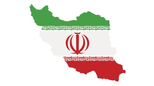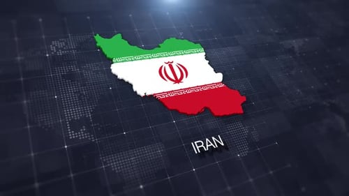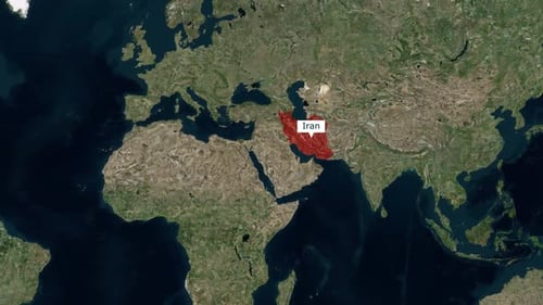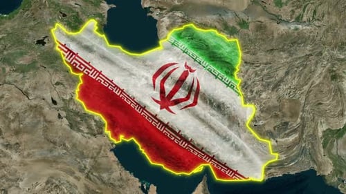
Animated Iran Map Outline with National Flag and Satellite View
By BALAJIRAJAOne great value subscription from €14.50/month
- Unlimited downloads of 27+ million creative assets
- AI Tools: video, image and more
- Lifetime commercial license
- Easy cancellation
Attributes
- Length
- 0:20
- Resolution
- 3840 x 2160
- File Size
- 368 MB
- Frame Rate
- 30 fps
- Alpha Channel
- No
- Looped
- No
- Video Encoding
- H.264
- Orientation
- Horizontal
- Commercial License
- Further Information
Description
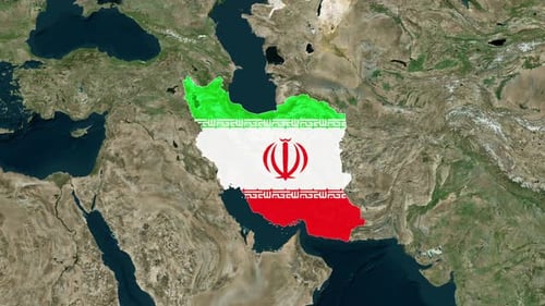
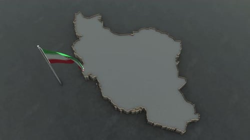
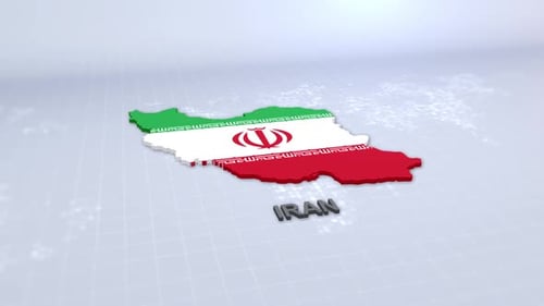
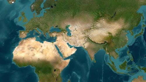
This animated clip presents a detailed and visually compelling map of Iran, dynamically emerging from a realistic satellite view of the wider Middle East region. The country's intricate geographical outline is precisely traced by a vibrant, glowing yellow line that illuminates and highlights its borders with a clear, modern aesthetic. Simultaneously, the national flag of Iran unfurls gracefully within the country's shape, rendered with a subtle, textured ripple effect that adds depth and realism to the patriotic display. Following this precise formation, the camera executes a smooth, controlled zoom-out, transitioning from a close-up of Iran to a broader regional perspective, showcasing its strategic position relative to neighboring countries and significant bodies of water. This polished and informative visual effect is an excellent choice for enriching news segments, educational documentaries, geopolitical analyses, or corporate presentations that require a clear, engaging, and professional introduction to Iran. It effectively visualizes national boundaries and identity, making complex geographical information both accessible and visually compelling for a diverse range of audiences and production needs.