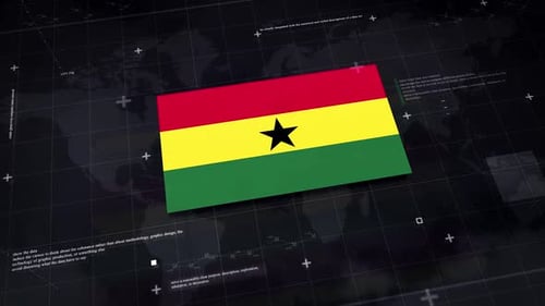
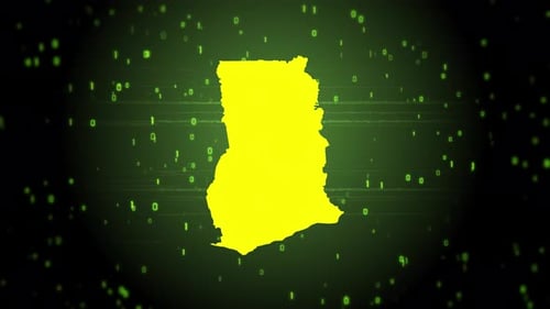
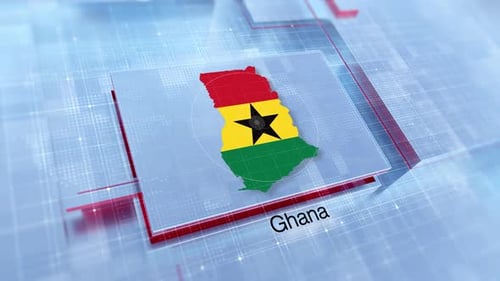
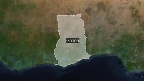
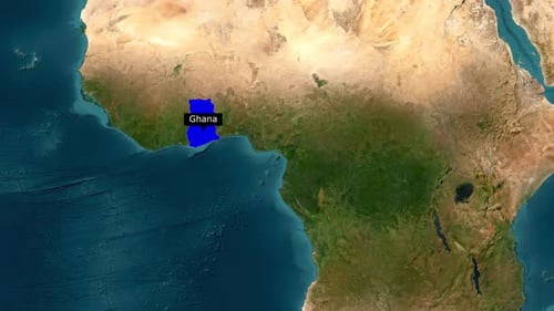
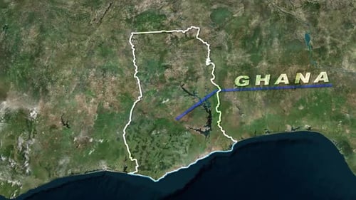
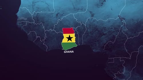
Digital Glitch Map Highlight and Location Reveal for Ghana
By candy_animationOne great value subscription from €14.50/month
- Unlimited downloads of 27+ million creative assets
- AI Tools: video, image and more
- Lifetime commercial license
- Easy cancellation
Already have an account? Sign in
Attributes
- Length
- 0:10
- Resolution
- 3840 x 2160
- File Size
- 108 MB
- Frame Rate
- 29.97 fps
- Alpha Channel
- No
- Looped
- No
- Video Encoding
- H.264
- Orientation
- Horizontal
- Commercial License
- Further Information
Description
This dynamic animated map sequence features a digital representation of Africa, overlaid with stylized clouds and a technical grid pattern. The animation begins with a glitch effect, conveying a sense of digital data processing or transmission. Ghana's outline is then prominently highlighted in a contrasting color, with a pulsing locator circle drawing attention to its center. Key neighboring cities and countries are revealed with clear text labels, providing contextual geographical information. This visual effect is perfect for documentaries, news reports, corporate presentations, or any project requiring a futuristic and data-rich display of global or regional locations, offering a sophisticated and engaging way to present geographical data.