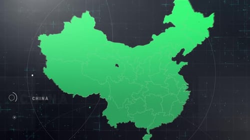
Digital Map of China with Glowing Dots Technology Animation
By PoR888One great value subscription from €14.50/month
- Unlimited downloads of 27+ million creative assets
- AI Tools: video, image and more
- Lifetime commercial license
- Easy cancellation
Attributes
- Length
- 0:20
- Resolution
- 1920 x 1080
- File Size
- 347 MB
- Frame Rate
- 25 fps
- Alpha Channel
- No
- Looped
- No
- Video Encoding
- Photo JPEG
- Orientation
- Horizontal
- Commercial License
- Further Information
Description
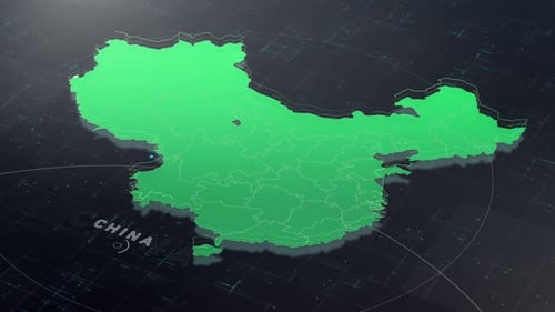
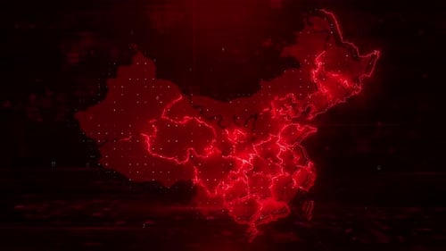
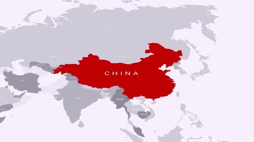
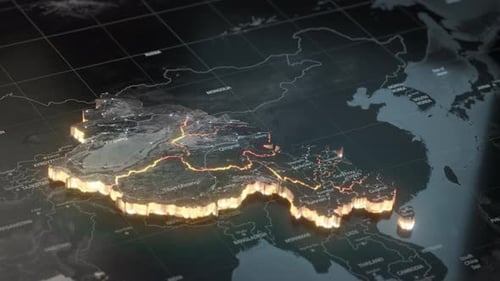
This animated clip presents a sophisticated digital map of China, rendered with crisp blue outlines demarcating its provinces. The map is set against a dark, grid-patterned background, creating a sense of depth and technological precision. Throughout the animation, numerous small, bright white data points randomly appear and fade across the map, simulating a vibrant network of information flow or population density. The entire map subtly shifts and rotates, providing a dynamic, three-dimensional perspective. This visual effect is ideal for corporate presentations, technology-focused videos, news segments, or any project needing to illustrate data, connectivity, or geopolitical information related to China with a modern, futuristic aesthetic.